
The big picture
Though recent flood mitigation at dams along the Highland Lakes has concluded, bacteria and debris from recent flooding are still present in the lakes and continue to pose potential risks for recreational use, according to a July 17 news release from the agency.
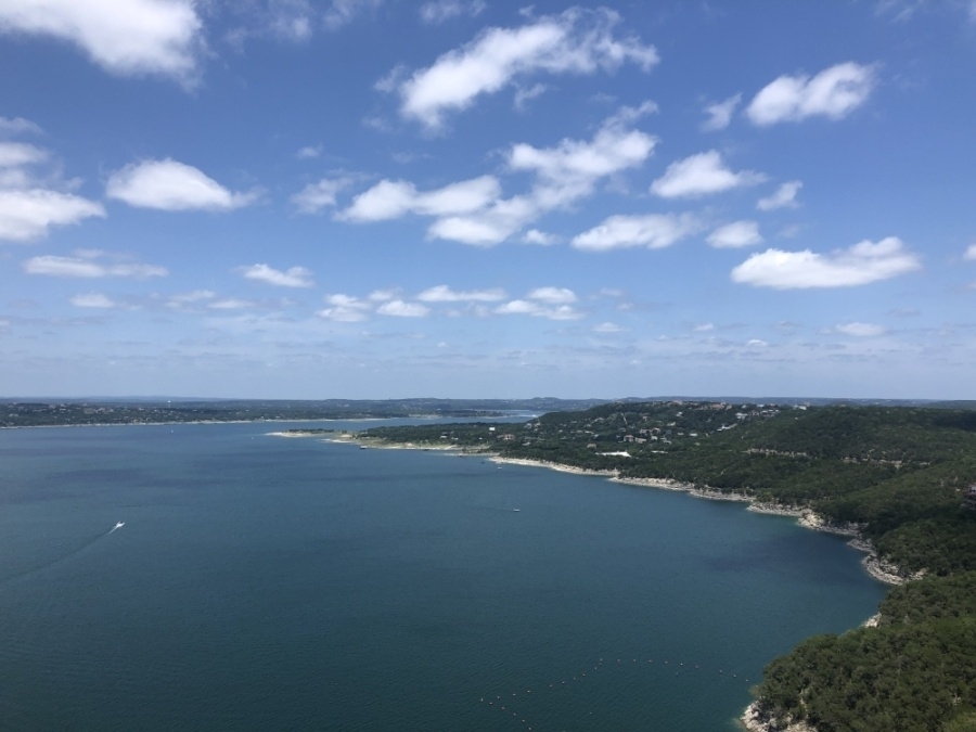
Additionally, some residential docks on Lake Travis remain farther from shore than usual and may not have lights.
“We’ve had a tremendous amount of water pass through the Highland Lakes since July 4,” John Hofmann, LCRA executive vice president of Water, said in a statement. “Conditions are improving daily, but we are still seeing flood debris in some areas. We expect bacteria levels elevated by the flood to start returning to more normal levels late next week.”
Water quality can differ by location, and there’s an increased risk of encountering bacteria in particular in the weeks following a flood. Swimmers should avoid smelly, cloudy or stagnant areas of the lakes, the release states. The advisory applies to lakes Buchanan, Inks, LBJ, Marble Falls and Travis.
For more water safety tips, visit www.lcra.org/belakewise.

Since 7 a.m. July 4, Lake Buchanan has risen more than 17 feet, and Lake Travis has risen more than 36 feet. Combined storage of the two lakes—the two water supply reservoirs in the Highland Lakes—has risen from 51% to more than 93% of capacity.
The total amount of water stored in lakes Buchanan and Travis has increased by over 700,000 acre-feet, reaching more than 1.7 million acre-feet. An acre-foot is enough water to cover 1 acre of land with a foot of water.
LCRA opened the floodgates at Buchanan Dam—the northernmost dam on the Highland Lakes—July 14, marking the first time floodgates have been opened there since May 2019.
Floodgates were also opened at Wirtz and Starcke dams, which form lakes LBJ and Marble Falls, and water is spilling over Inks Dam, which doesn't have floodgates. LCRA says more gates could be opened if conditions change.
“I know people want to get back on the lakes and enjoy the sunny weather we’re seeing now,” Hofmann said. “It’s safer now that flood operations have ended, but you still need to be extremely careful on the lakes. Keep your guard up, watch out for debris and be aware that Lake Buchanan and Lake Travis are significantly deeper than they were two weeks ago.”
Additional resources can be found below:
- Lake levels updated every five minutes are available on LCRA’s River Operations Report at www.lcra.org/riverreport.
- Current LCRA flood operations and lake level forecasts are available on LCRA’s Flood Operations Report at www.lcra.org/floodreport.
- The free Flood Operations Notification Service, or FONS, will call, email and/or text subscribers when flood operations begin at dams along the Highland Lakes and Lake Bastrop. To subscribe, visit www.lcra.org/FONS. This is not a flood warning service, but instead provides notification of operations at LCRA dams.
Travis County has reopened parts of Lake Travis after issuing a ban on public waterway usage, with local officials still recommending that residents and visitors exercise caution.
The ban was updated July 13 to reflect that only areas upstream of mile marker 36 and Sandy Creek Park will remain closed.
Find out more here.